Aerial Photography
Capture stunning aerial views with professional drone photography services. Enhance your projects with high-quality, dynamic shots that stand out.
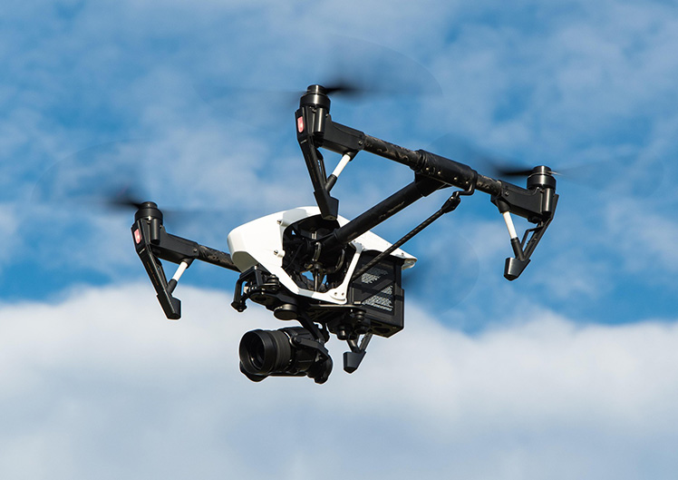
SkyRender is a professional drone services company specializing in high-quality aerial imaging and videography. We provide a diverse array of services, including aerial photography, surveying, mapping, and inspections. Utilising cutting-edge drone technology, SkyRender offers precise and innovative solutions for various industries, such as real estate, construction, agriculture, and media, guaranteeing stunning visuals and accurate data from a bird's-eye view.
Capture stunning aerial views with professional drone photography services. Enhance your projects with high-quality, dynamic shots that stand out.
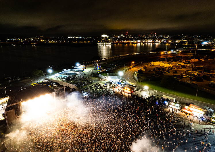
Elevate your content with breathtaking aerial drone videos. Get cinematic, high-definition footage that brings your vision to life.
Ensure safety and precision with expert aerial drone inspections. Get detailed, high-resolution imagery for faster, more efficient assessments.
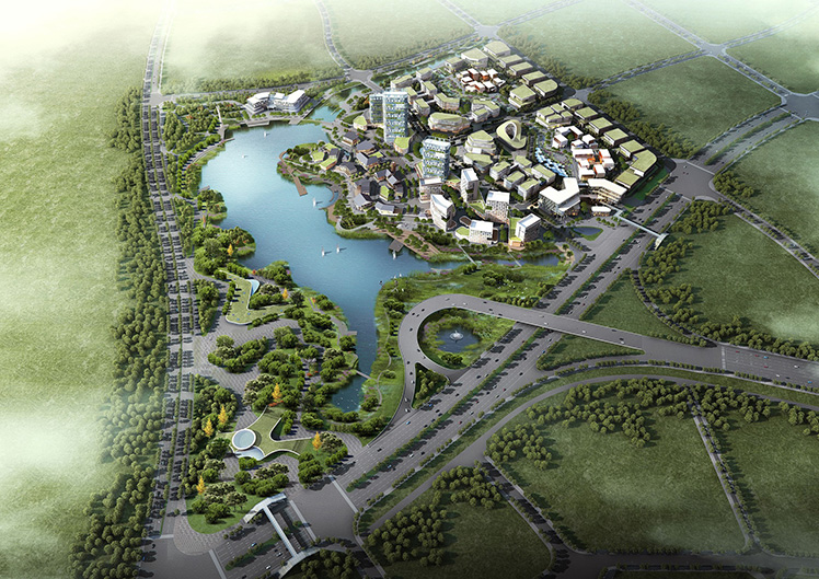
Transform your data with accurate aerial mapping using drones. Capture precise, high-resolution maps for better planning and decision-making.
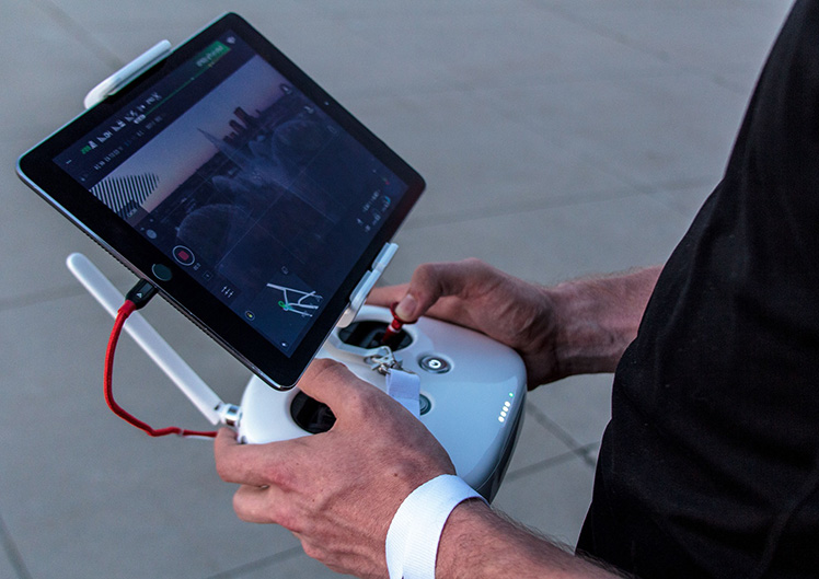
Using drones not only saves costs but reduces the risks of working at height.